Seafloor Gradient
About
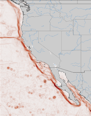
Two estimates have been developed of the seafloor gradient off the West Coast of the United States using the ETOPO and SRTM30Plus datasets. Each provides estimates of the x-gradient, y-gradient, and magnitude of the gradient. All estimates were done using algorithms in standard Python scikit-image package.
Seafloor gradients are used in habitat studies both to estimate the shelf location as well as to estimate underwater features such as seamounts.
Calculation resources
Details of the sea floor gradient calculation, can be found at https://rmendels.github.io/seafloor_gradient_doc.html